Cumberland Plain
| Introduction to Cumberland Plain | |
| The purpose of the Cumberland Plain flux station is: to quantify the exchanges of carbon dioxide, water vapour and energy in a dry sclerophyll forest. to characterize the functional behaviour and sensitivity of the different components contributing to the ecosystem carbon balance from sub-daily to multi-annual temporal scales and under climatic variability. to identify the role of hydraulic limitations on constraining ecosystem productivity. to quantify the impact of mistletoe on plant physiological processes and whole ecosystem water vapour and carbon dioxide exchange. to validate remote sensing estimates of different radiation components to obtain accurate regional predictions of fuel moisture. to understand how wood traits and microbial diversity interact to determine rates of wood decay. | |
| Specifications | |
|---|---|
| Name | Cumberland Plain |
| Fluxnet ID | AU-Cum |
| Longitude | 150.7236 |
| Latitude | -33.6152 |
| Description | In the Cumberland Plain, near Richmond, New South Wales. |
| Traditional Owners | Darug |
| Land Ownership | public |
| Site history | Native sclerophyll forest/woodland remnant, relatively undisturbed by European colonists. Mapped as Cumberland Plain Shale Plains Woodland and Shale Gravel Transition Forest (Tozer, 2003). The native vegetation occurs on nutrient-poor alluvium deposited by the Nepean River from sandstone and shale bedrock in the Blue Mountains. Despite this they support high regional biodiversity and endemic biota. |
| Date commissioned | 2012-09-01 |
| Data collection period | 2012 - present |
| Environment | |
| IGBP classification | Evergreen Broadleaf (2) |
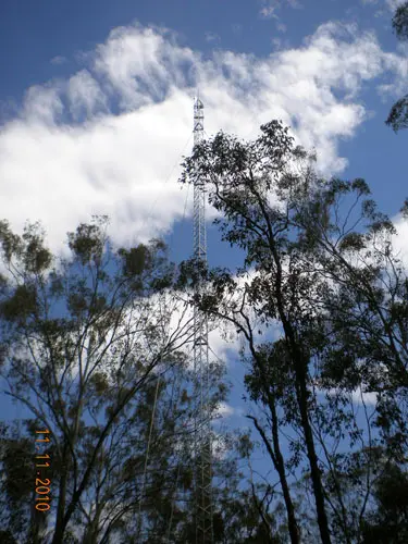
| Vegetation | Dry sclerophyll forest, canopy of Eucalyptus fibrosa and E. molucanna. Mid-storey Melaleuca decora. |
| Elevation (masl) | 20 |
| Canopy Height (m) | 24 |
| Soil description | Kurosol |
| Soil bulk density (g/cm³) | 1360 |
| Köppen Climate classification | No dry season / hot summer (Cfa) |
| Mean annual temperature (C°) | 18.1 |
| Mean annual precipitation (mm) | 825.7 |
| Tower operations | |
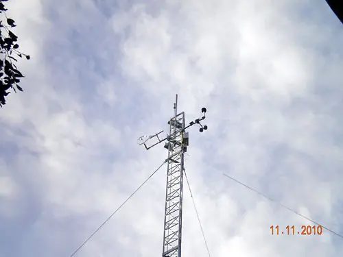
| Tower type | Guyed mast |
| Tower height (m) | 30 |
| Flux species | CO₂ , H₂O |
| Funding organisation | Terrestrial Ecosystem Research Network, Western Sydney University |
| Owner organisation | Western Sydney Universiy |
| Principal investigator | Elise Pendall |
| Technician(s) | Craig Barton (2012-present), Vanessa Tonet (2026-present), Nicola Lieff (2026-present), Nick Wright-Osment (2022-2025), Dan Metzen (2017-2022) |
| Collaborator(s) | Anne Griebel (UTS), Nick Wright-Osment (ETH- Zurich) |
| Point of contact | Elise Pendall, Elise Pendall (e.pendall@westernsydney.edu.au) |
Images of Cumberland Plain