Tumbarumba
| Introduction to Tumbarumba | |
| The purpose of the Tumbarumba flux station is to study the ecophysiological processes and rates of C accumulation of a commercially important, high-productivity forest measure the exchanges of carbon dioxide, water vapour and energy between the forest and the atmosphere using micrometeorological techniques, develop new data analysis and interpretation methods for micrometeorology in complex terrain. This work will contribute significantly to the discipline of micrometeorology since much of the world's forests are located in complex terrain, where classical techniques may not be suitable, utilize the ecophysiological and micrometeorological measurements to test models of plant and canopy function, such as the acclimation of photosynthetic capacity to temperature variations with season and the response of stomata to drought utilize the measurements to test land surface models such as the Community Atmosphere Biosphere Land Exchange model CA | |
| Specifications | |
|---|---|
| Name | Tumbarumba |
| Fluxnet ID | AU-Tum |
| Longitude | 148.15 |
| Latitude | -35.66 |
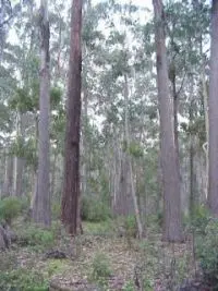
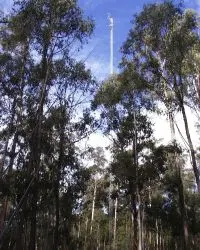
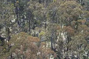
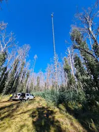
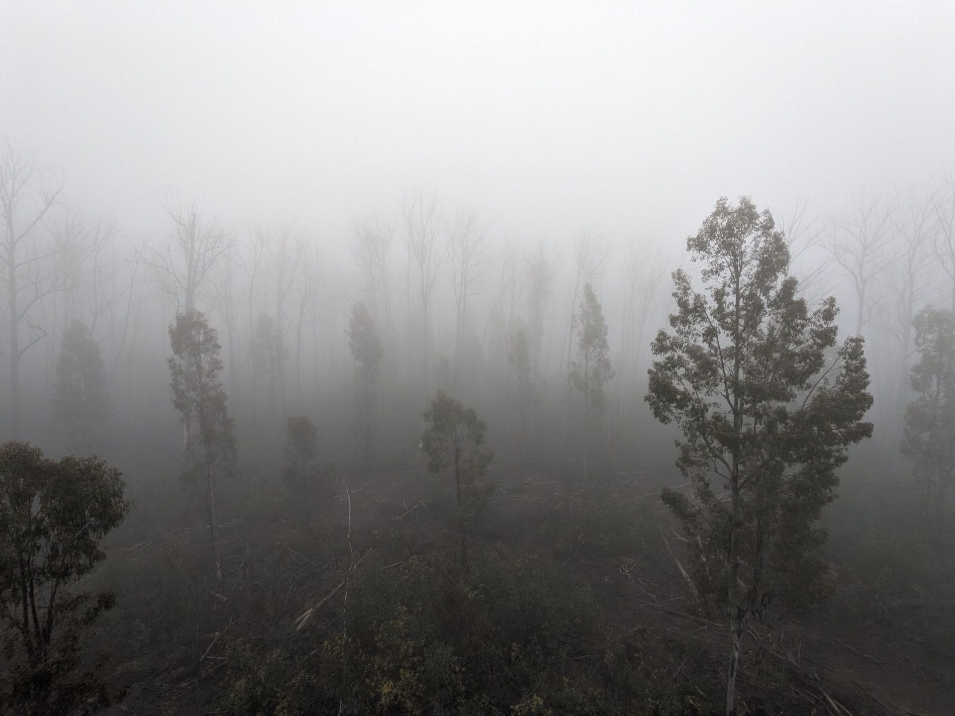
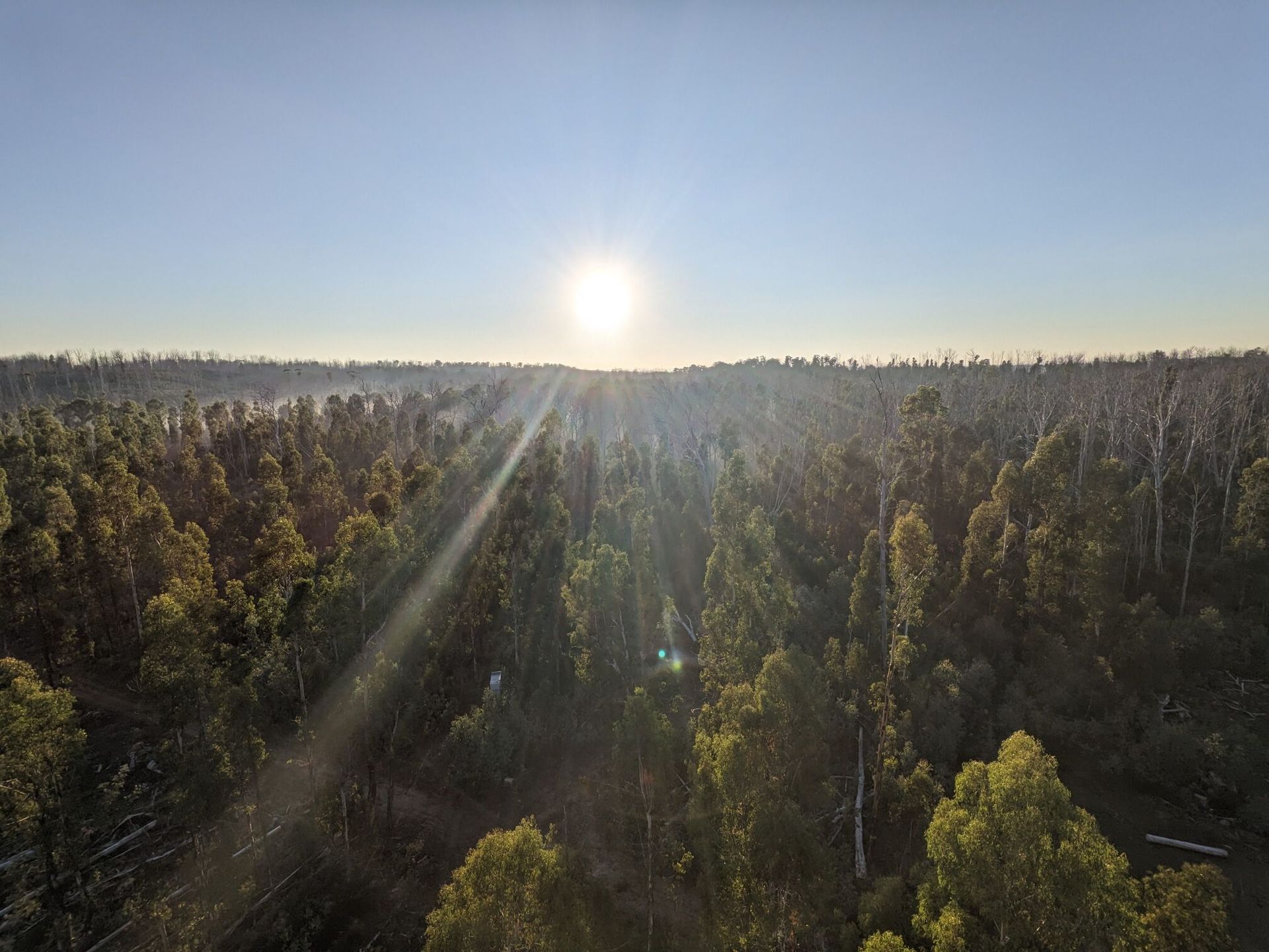
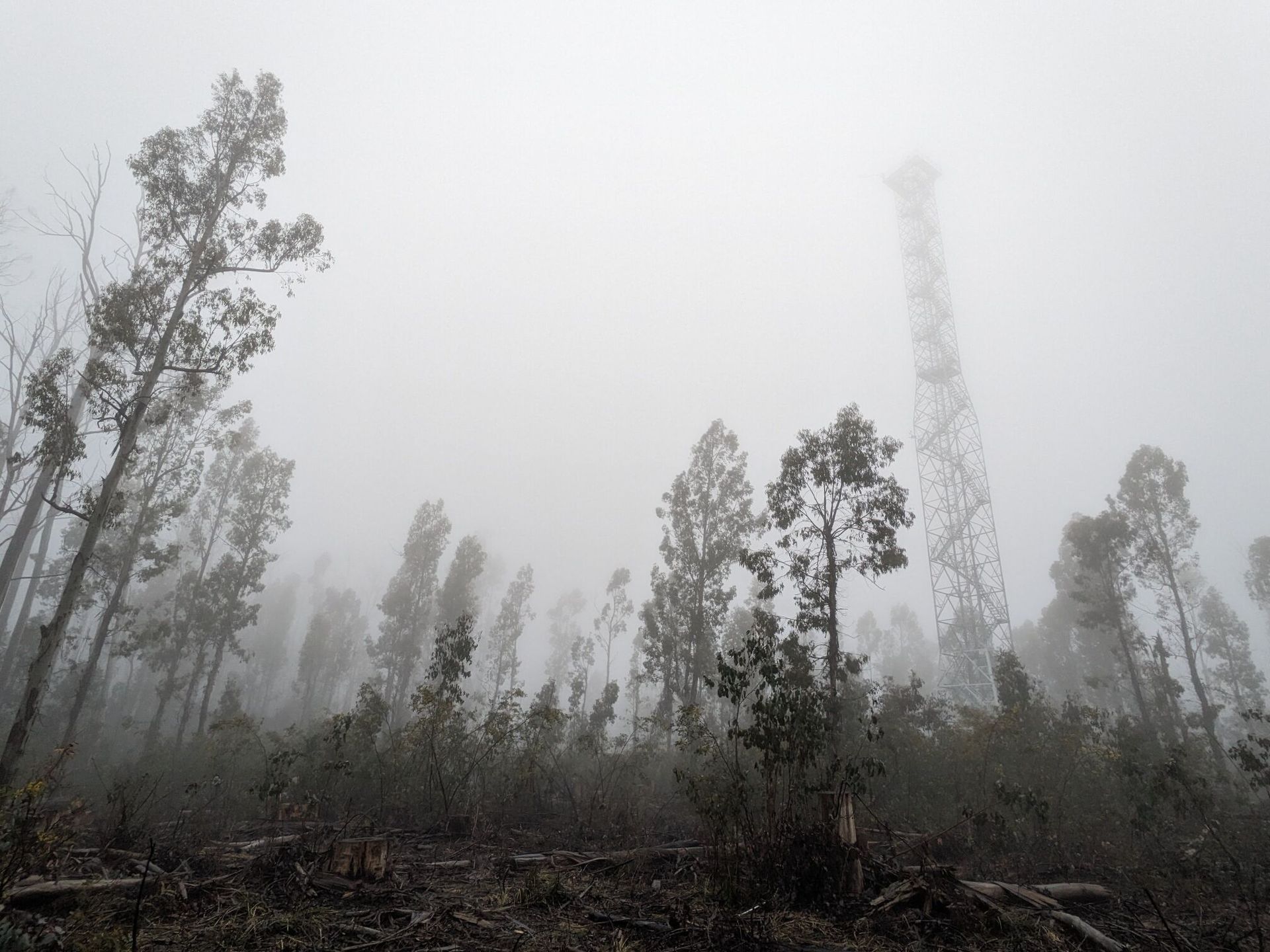
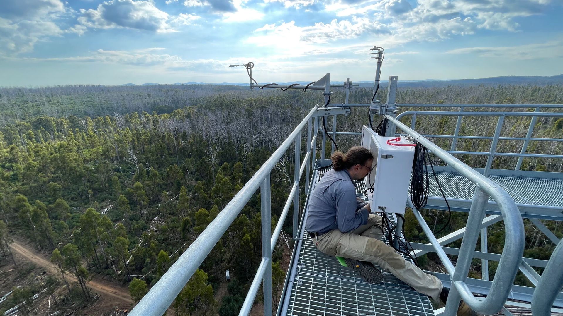
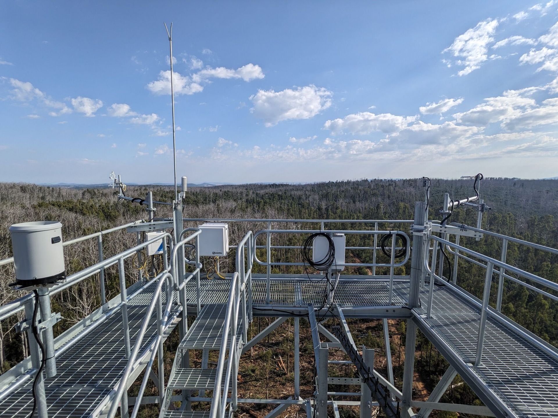
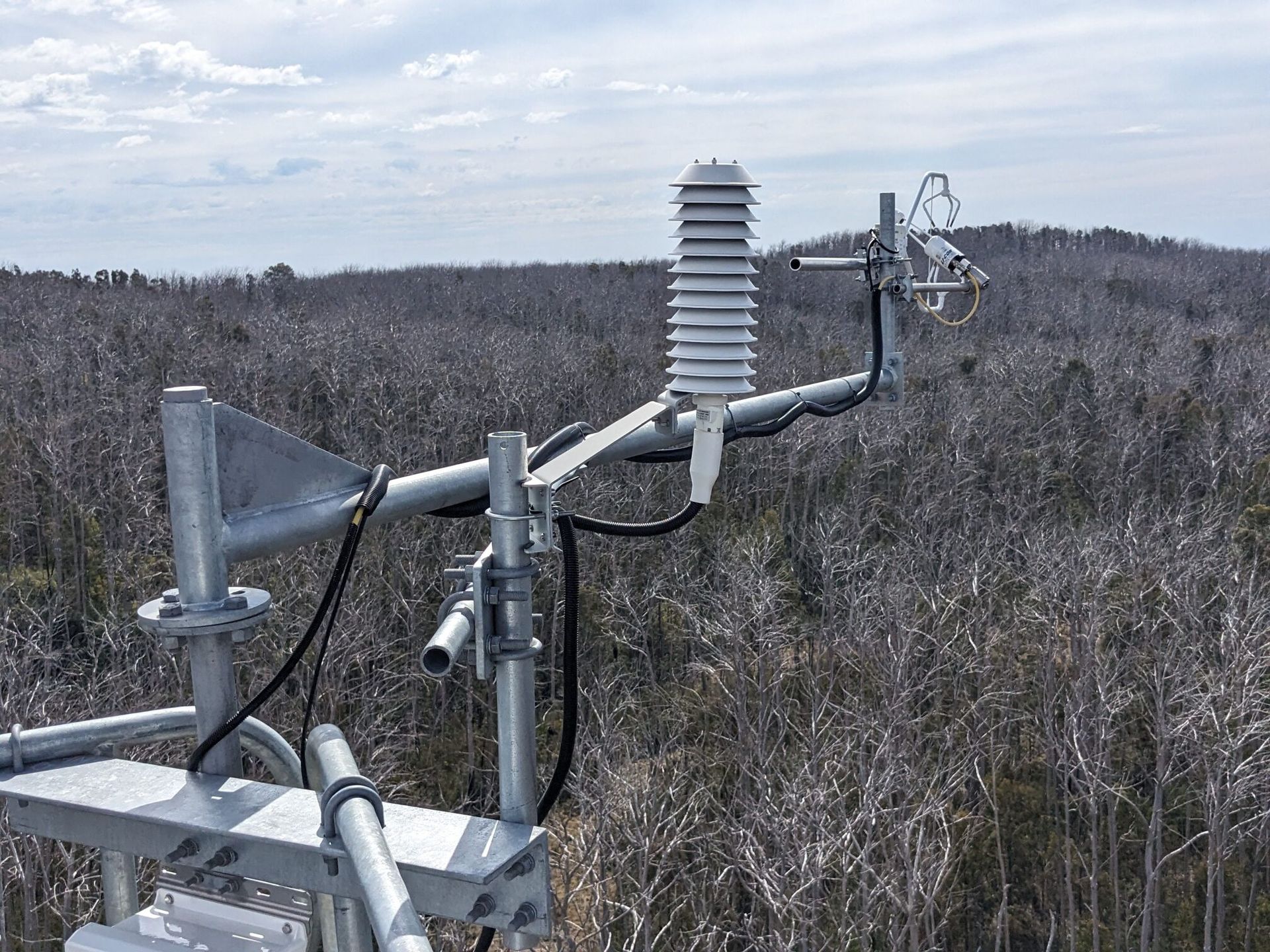
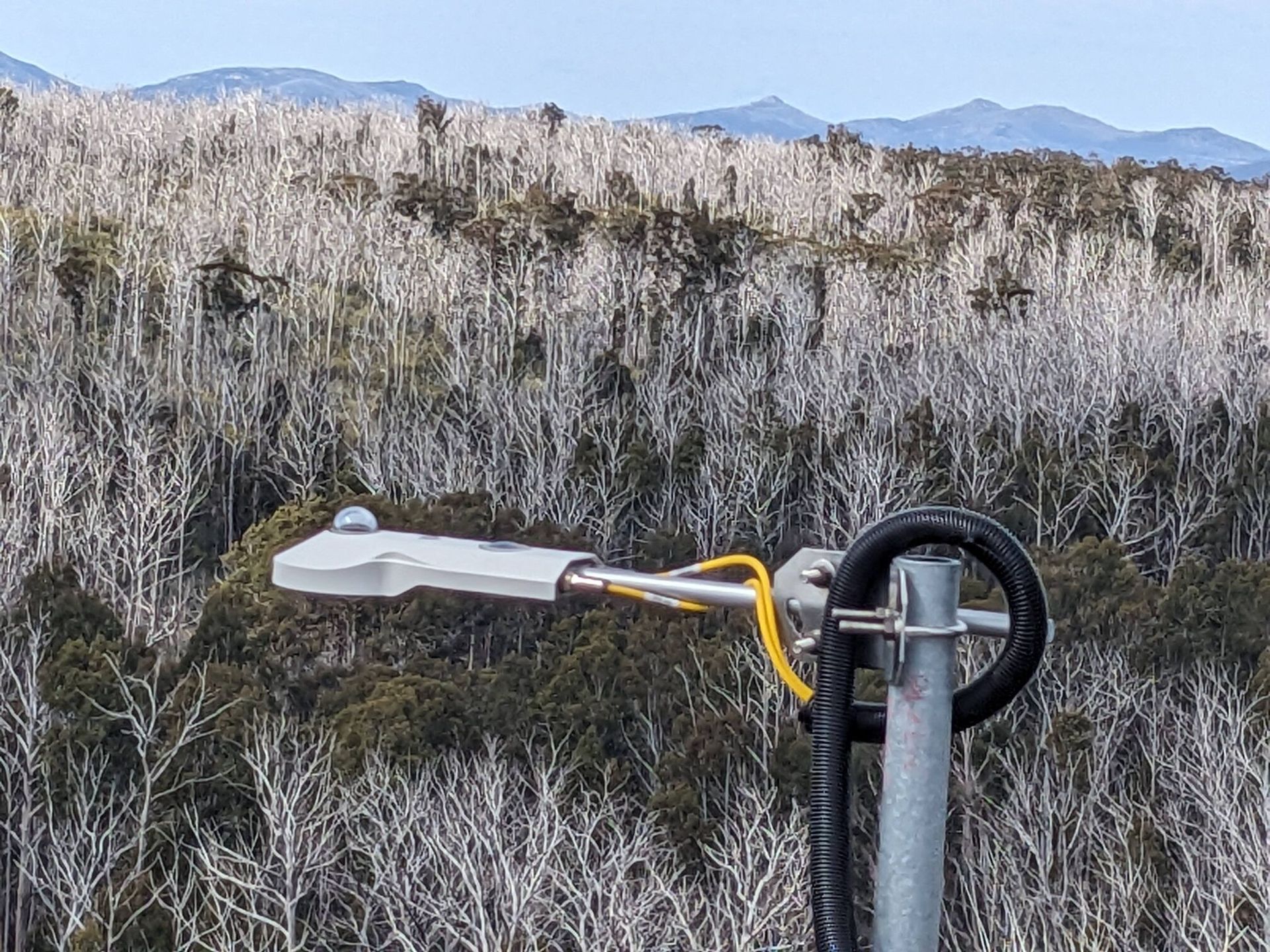
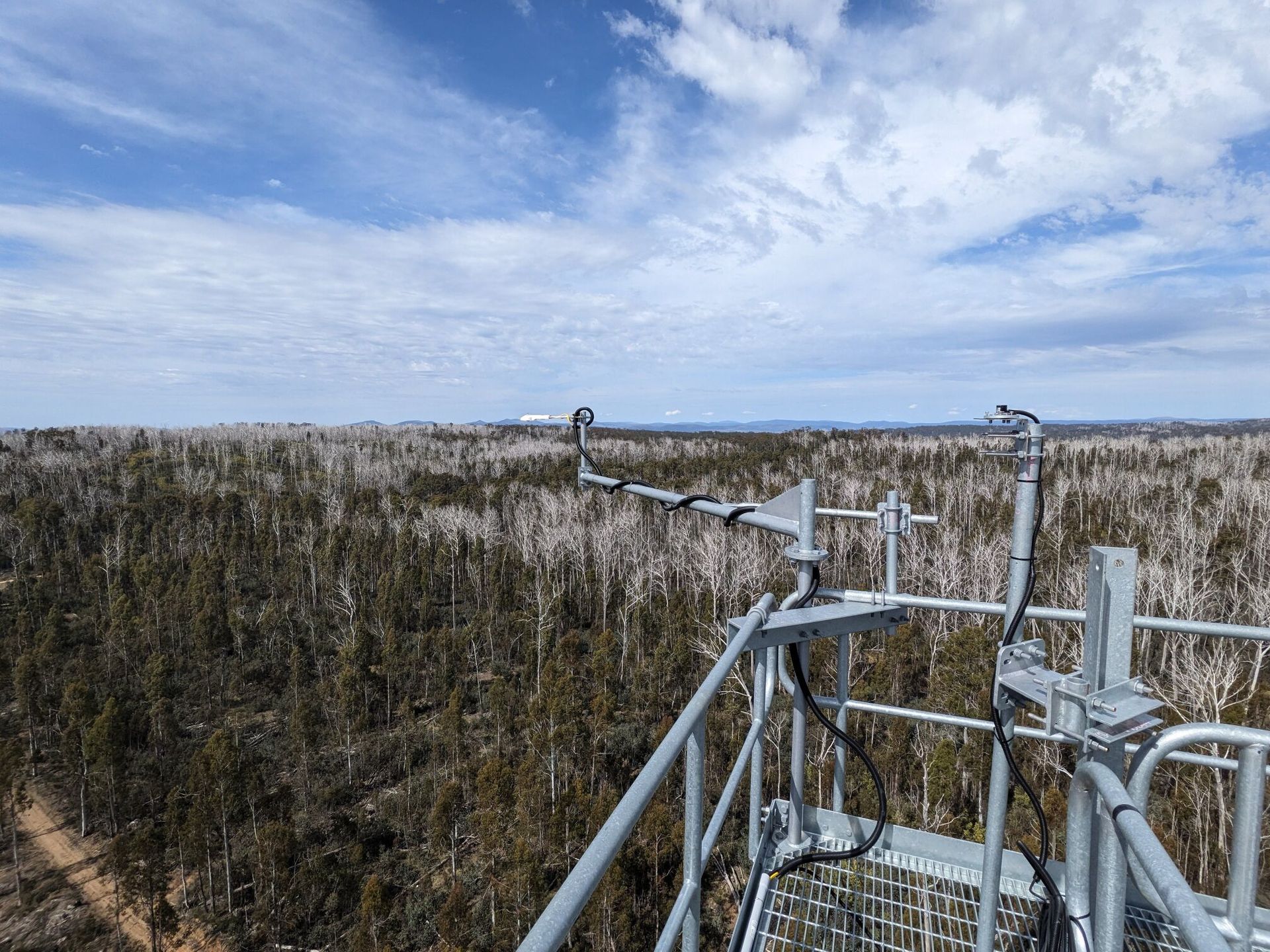
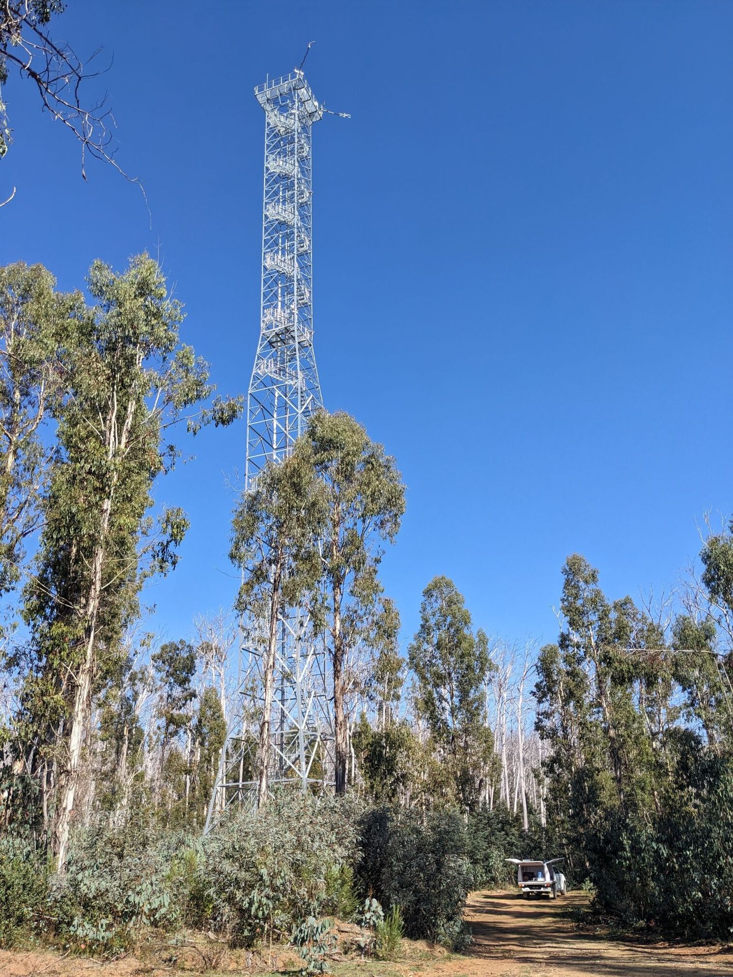
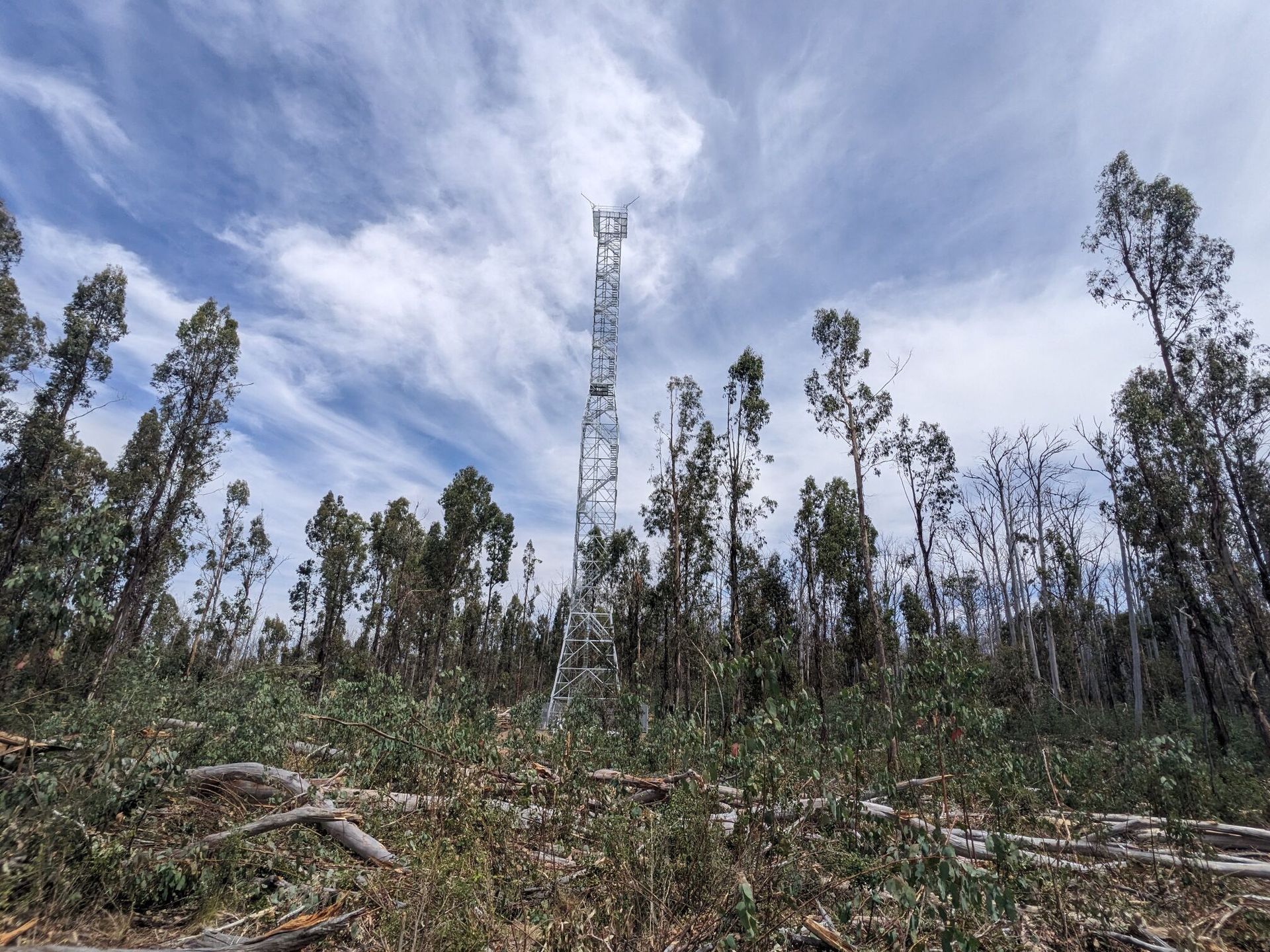
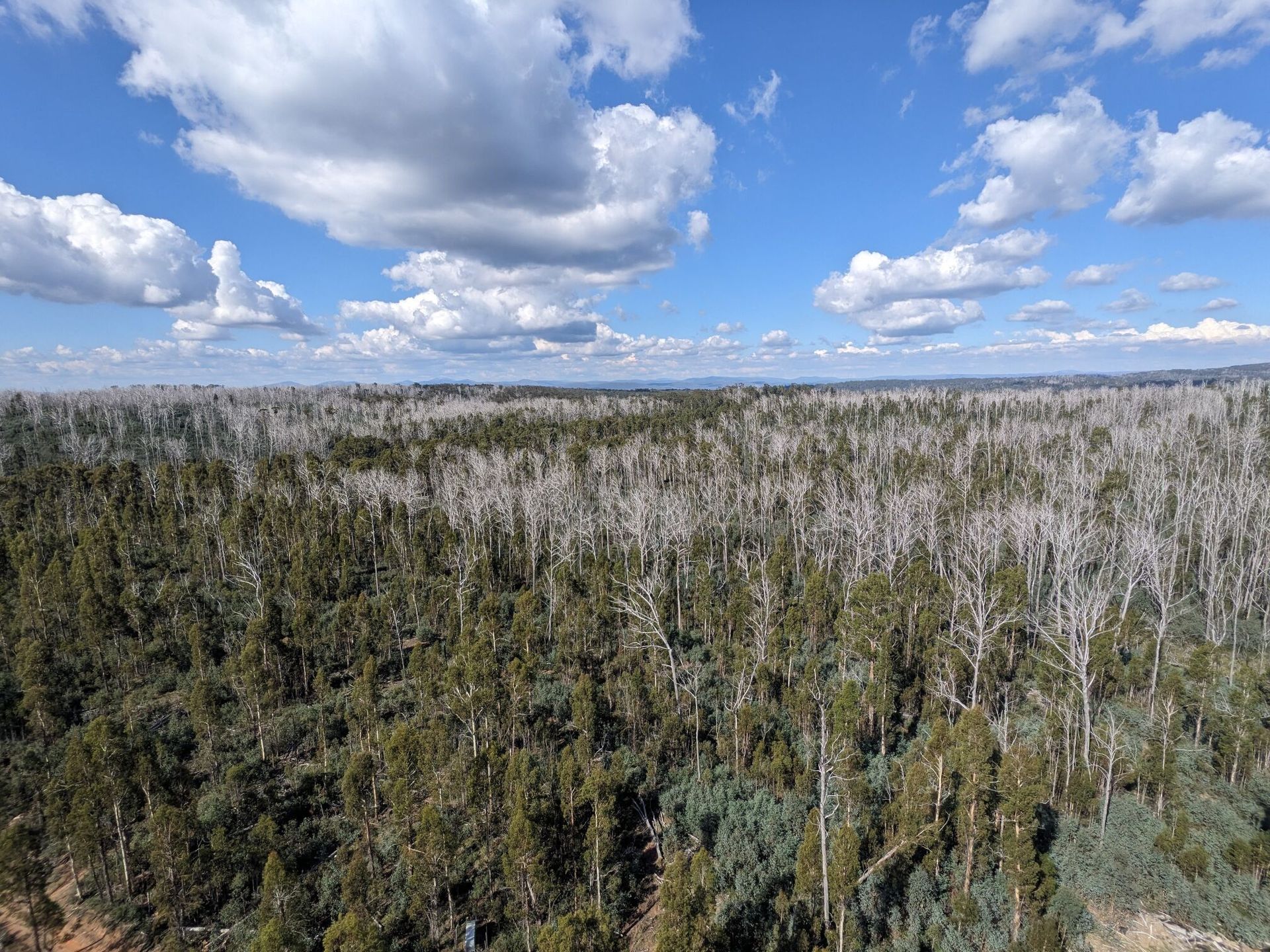
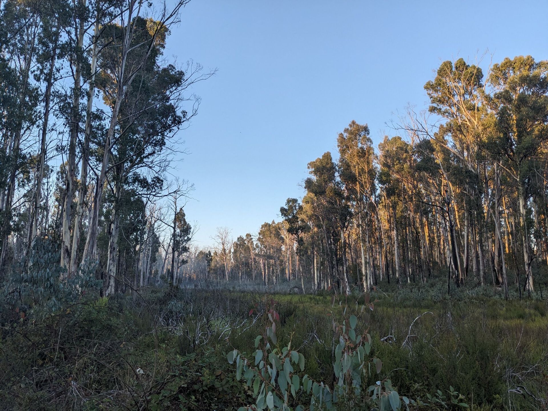
| Description | The Tumbarumba flux station is located in the Bago State forest in south eastern New South Wales. |
| Traditional Owners | Ngarigo and Walgalu |
| Land Ownership | State Forest |
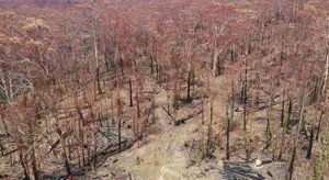
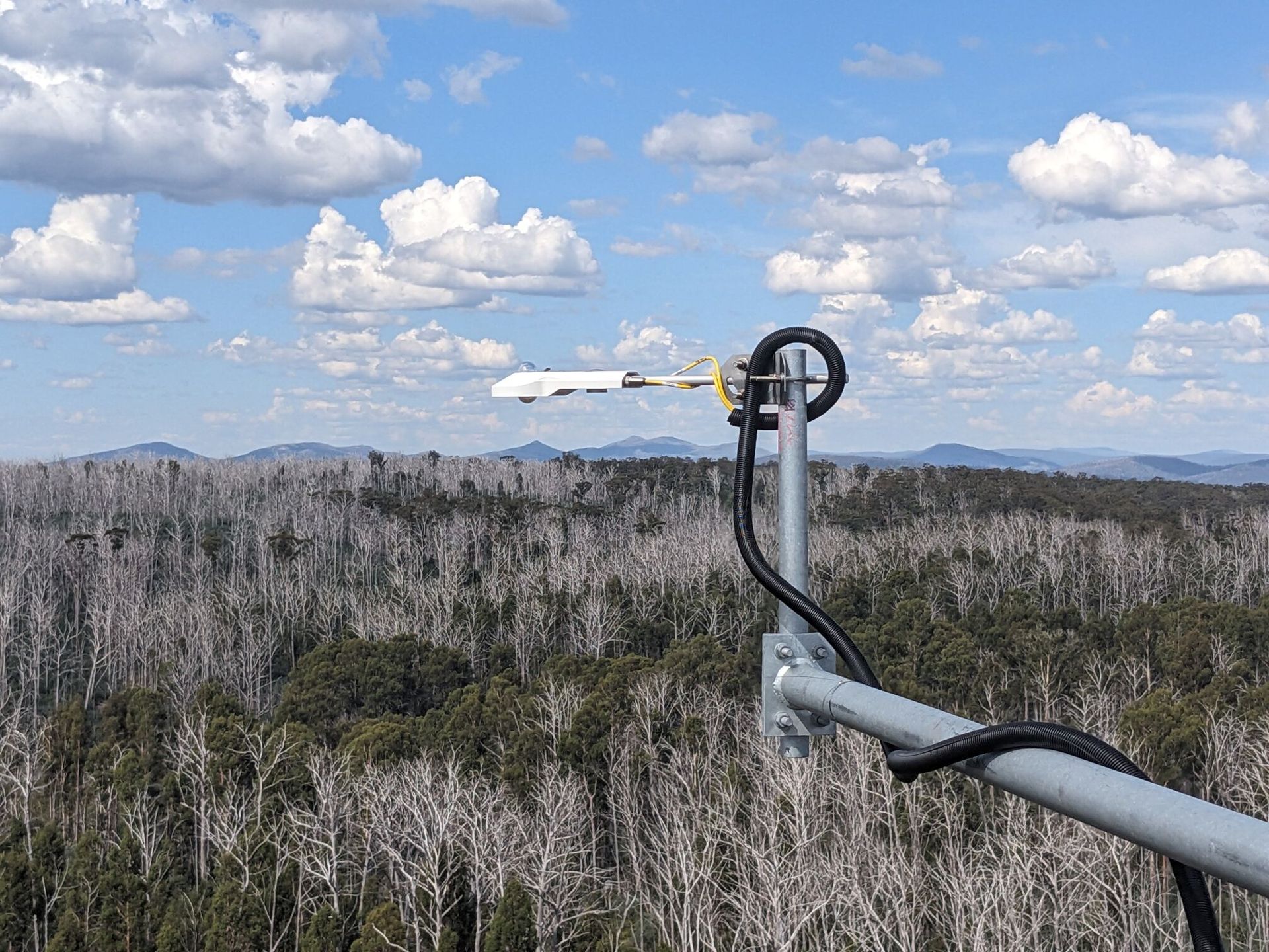
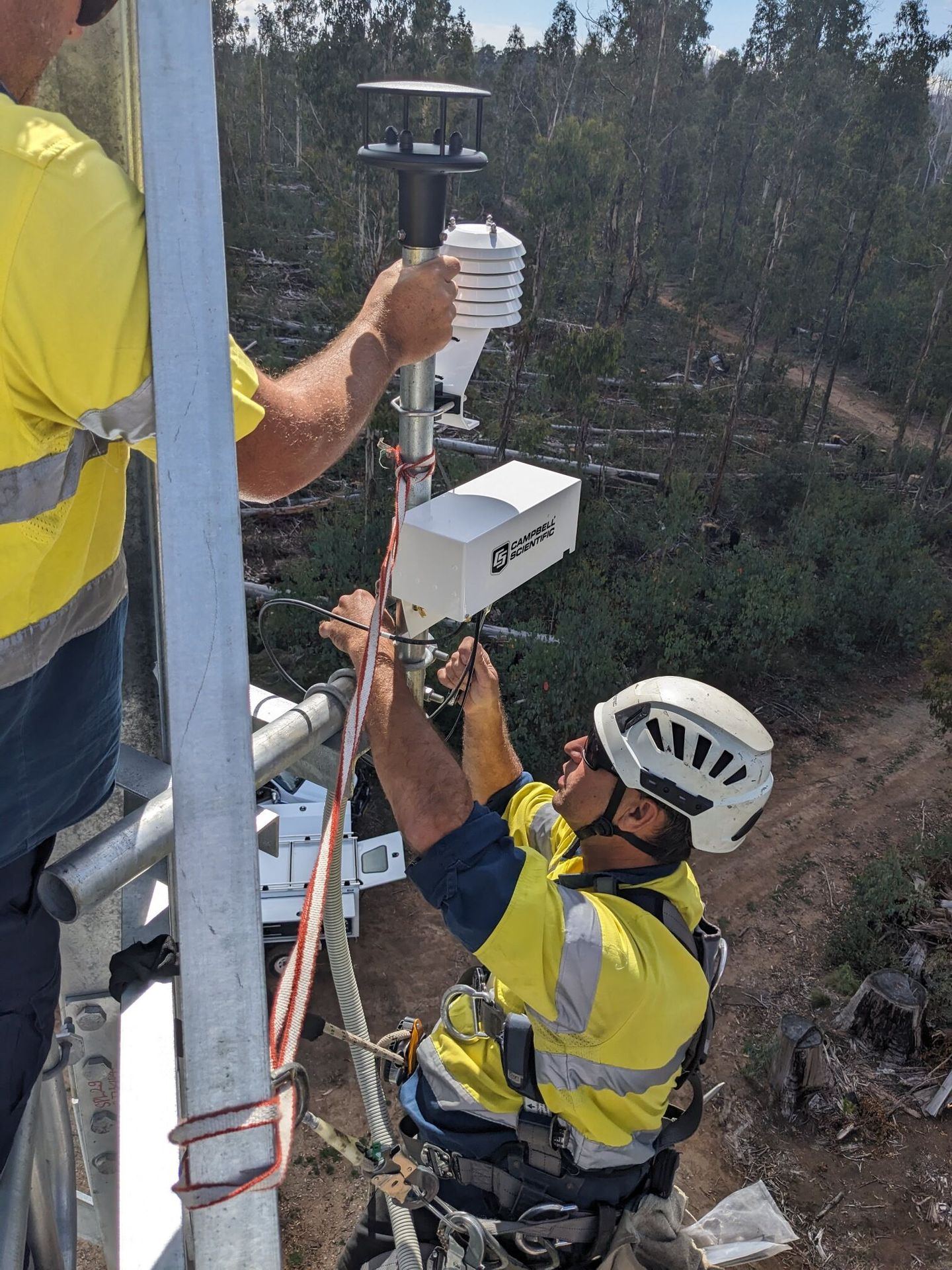
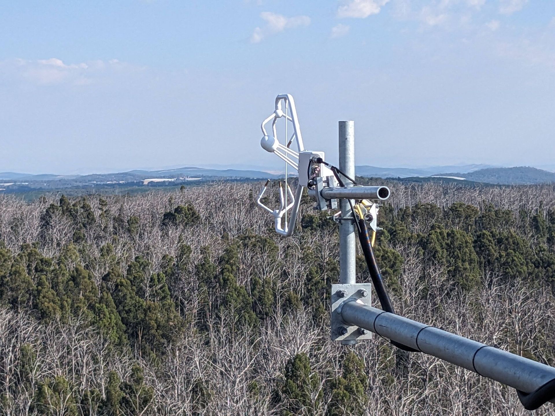
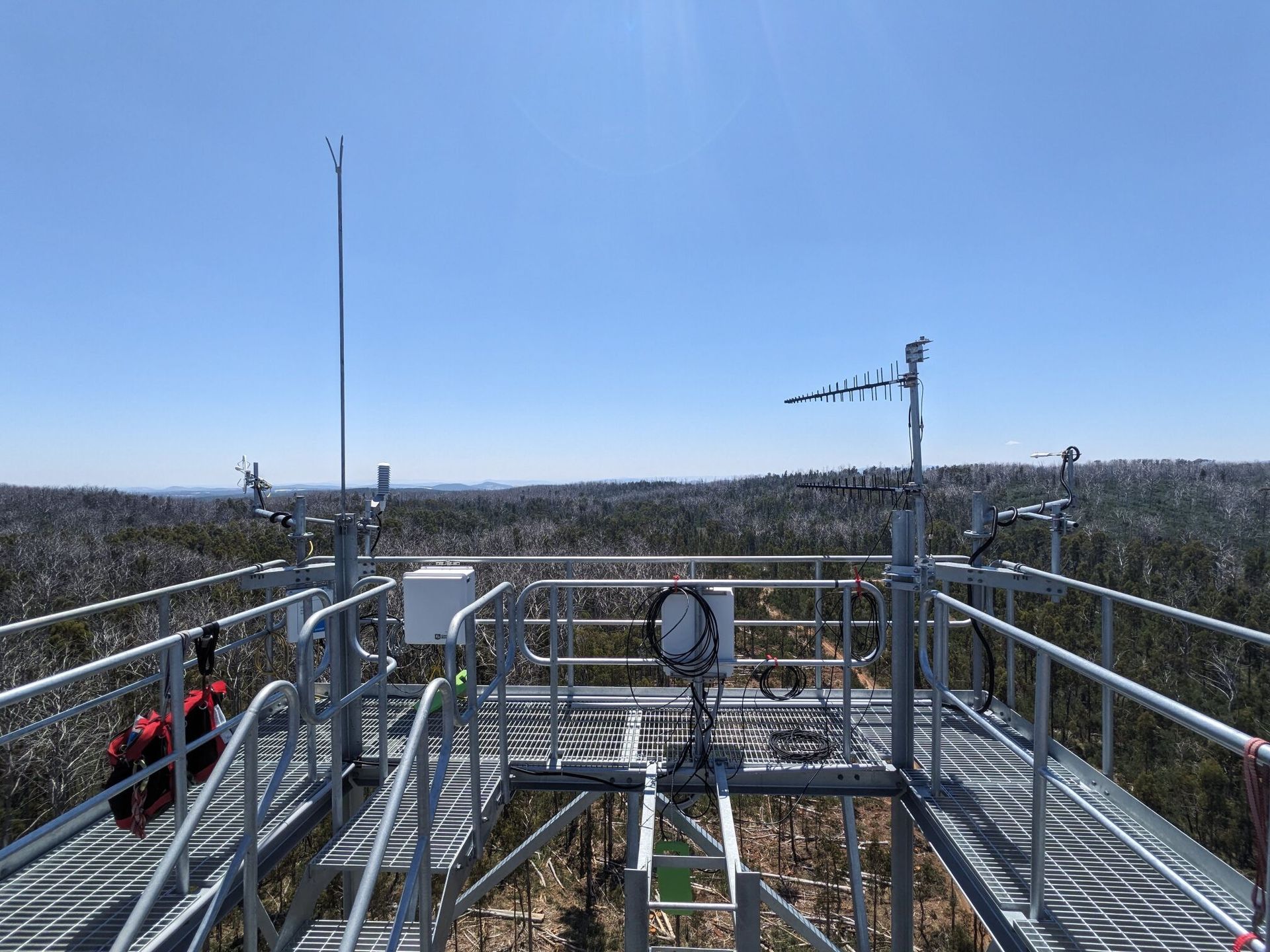
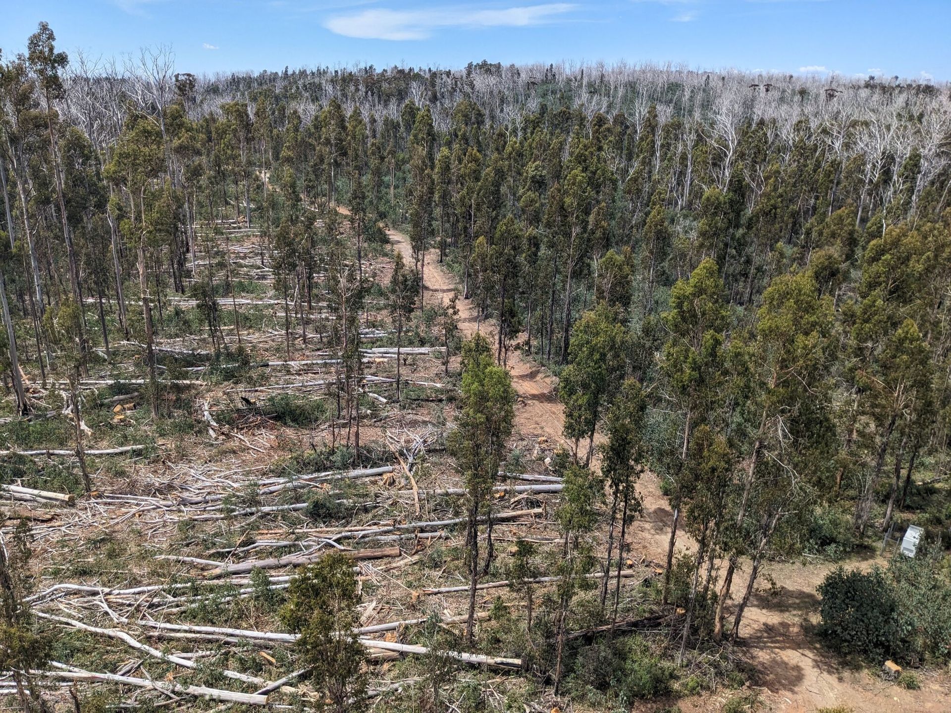
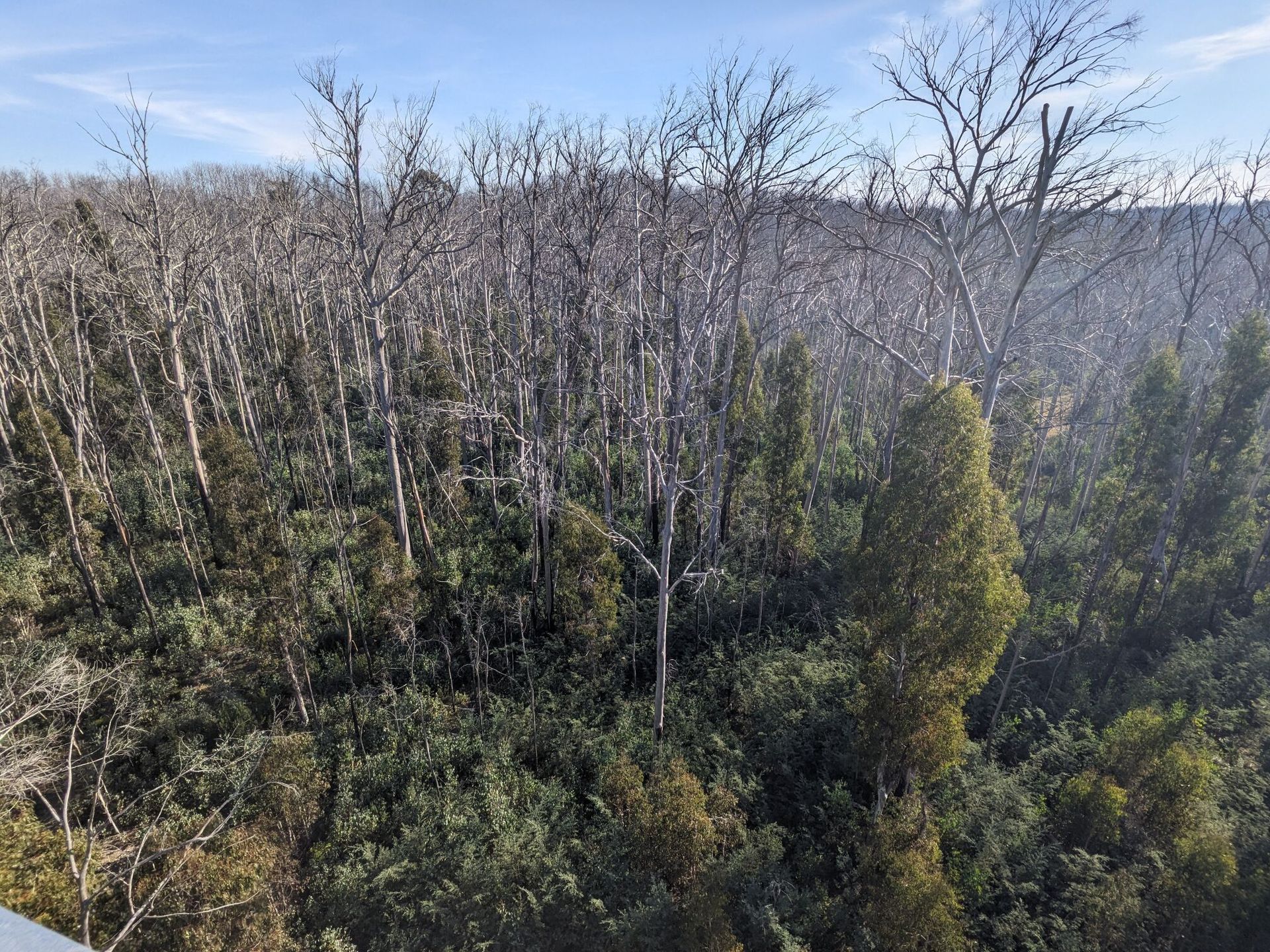
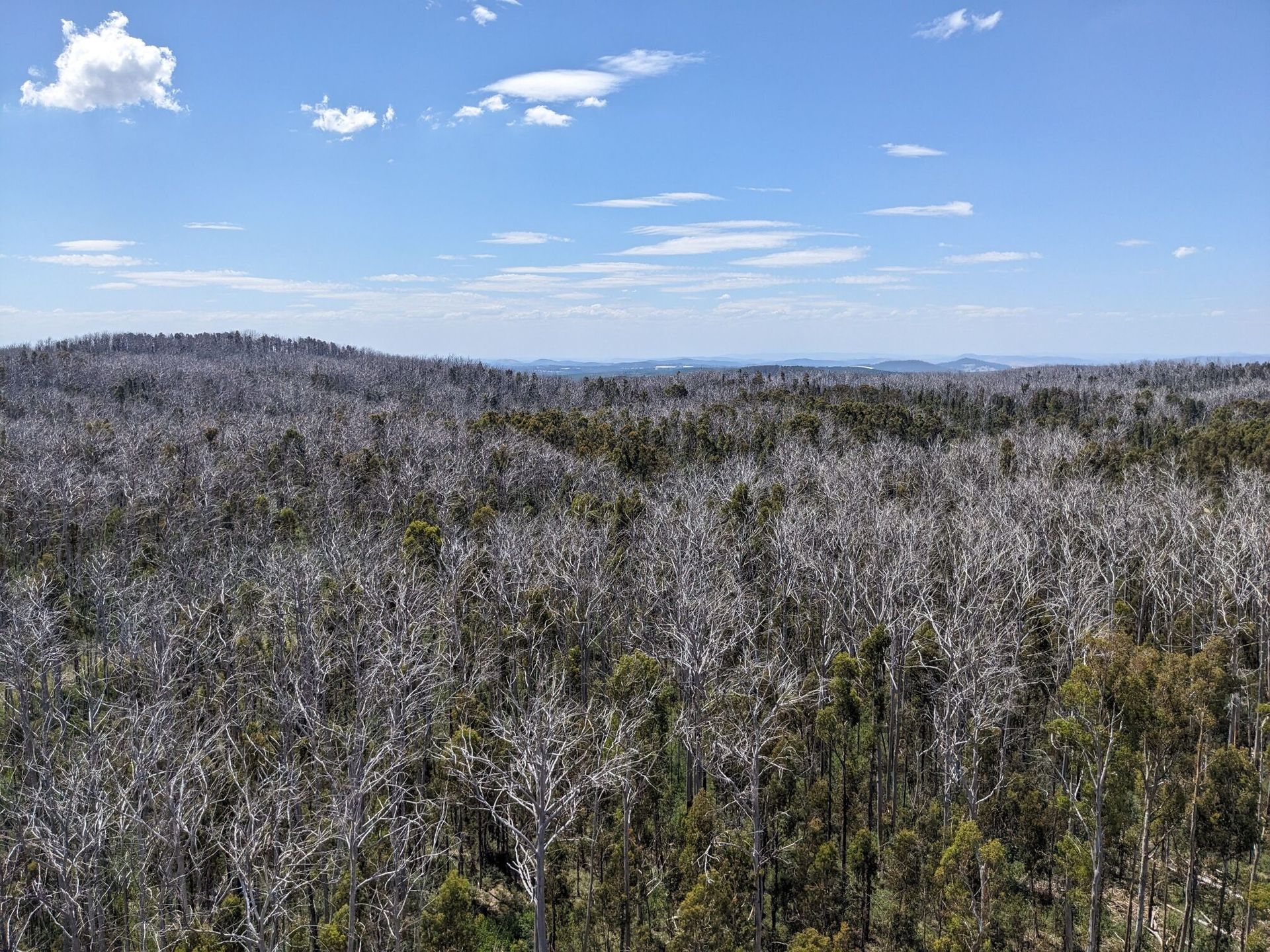
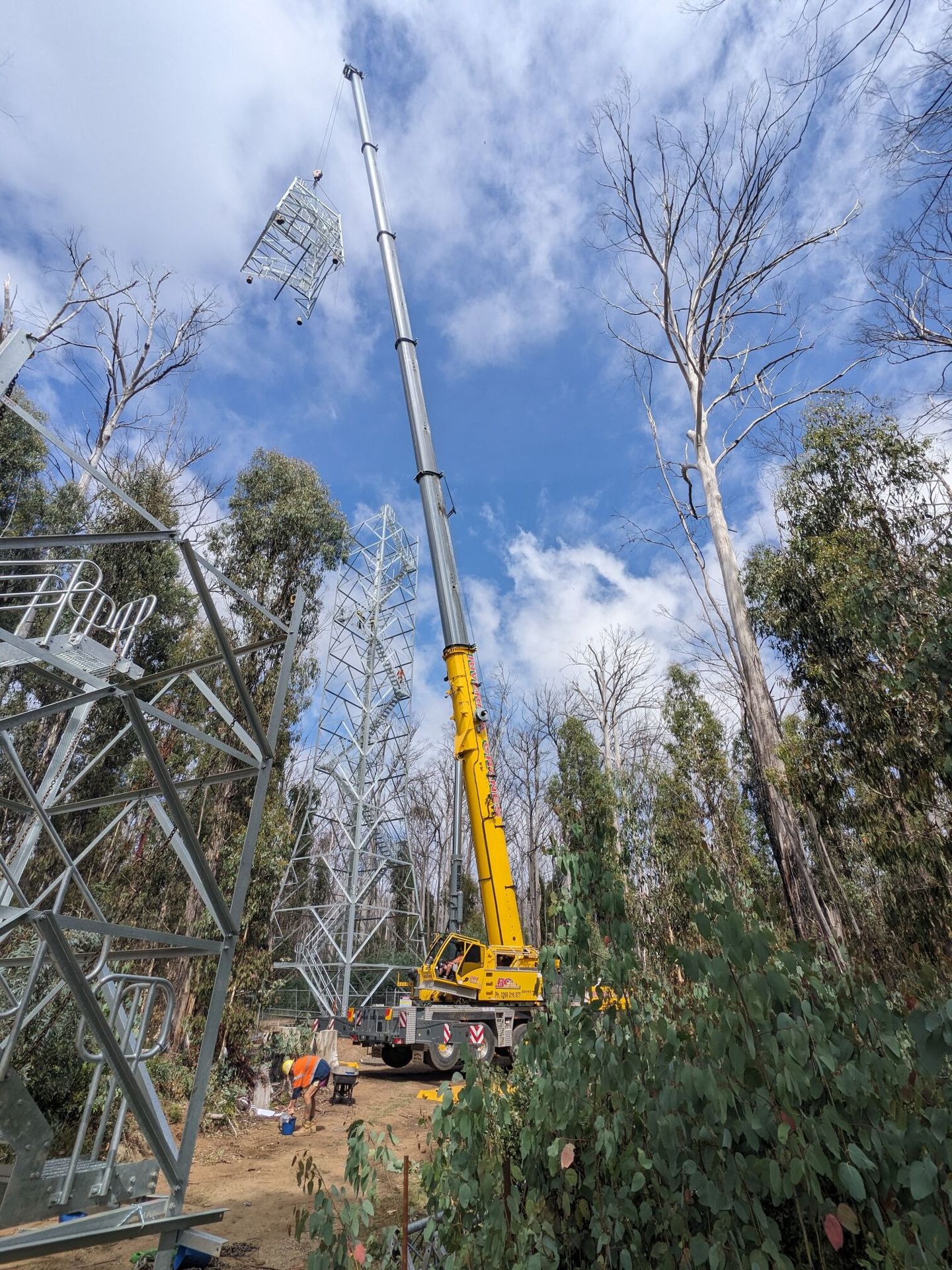
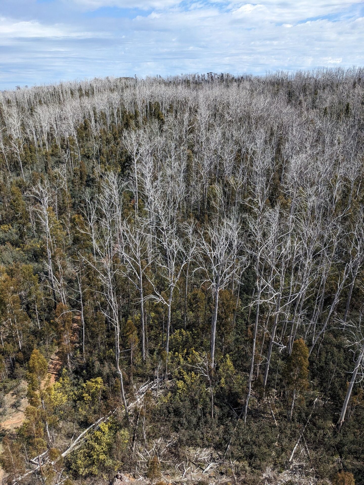
| Site history | The tower site was established in March 2000. No disturbance for about 40 years prior. The site was affected by a bushfire on 31/12/2019 with moderate severity burn (full understorey consumption but no canopy consumption). A new tower went into operation on Feb 7, 2025. |
| Date commissioned | 2000-03-01 |
| Data collection period | 2000 - present |
| Environment | |
| IGBP classification | Evergreen Broadleaf (2) |
| Vegetation | Wet sclerophyll forest Eucalyptus delegatensis (alpine ash) |
| Elevation (masl) | 1200 |
| Canopy Height (m) | 40 |
| Soil description | Alfisol |
| Köppen Climate classification | No dry season / warm summer (Cfb) |
| Mean annual temperature (C°) | 10.2 |
| Mean annual precipitation (mm) | 1207.8 |
| Tower operations | |
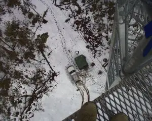
| Tower type | Free standing tower |
| Tower height (m) | 70 |
| Flux species | CO₂ , H₂O |
| Funding organisation | TERN, Terrestrial Ecosystem Research Network |
| Owner organisation | The University of Melbourne |
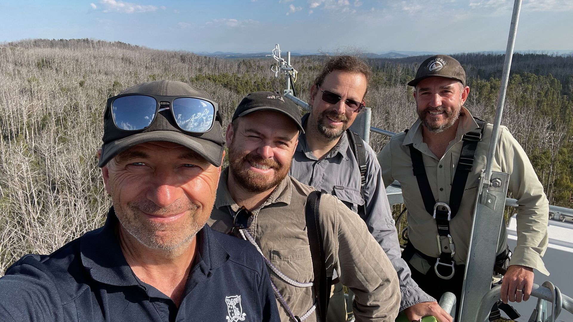
| Principal investigator | Ray Leuning & Eva van Gorsel CSIRO (2000-2019) Will Woodgate UQ (2020-2023) Stefan Arndt (2023 - present) |
| Technician(s) | Markus Loew |
| Collaborator(s) | Will Woodgate (UQ), Christophe Lerebourg (ACRI, FR), Anthony Nadelko (CSIRO), Darius Culvenor (Sensingsystems) |
| Point of contact | Ray Leuning & Eva van Gorsel CSIRO (2000-2019) Will Woodgate UQ (2020-2023) Stefan Arndt (2023 - present), sarndt@unimelb.edu.au, m.loew@unimelb.edu.au |
Pictures for Tumbarumba