Daly River - Uncleared
| Introduction to Daly Uncleared | |
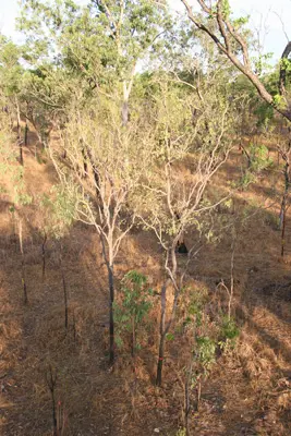
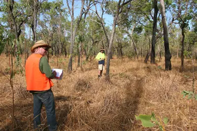
| Established via the SPECIAL campaign (Beringer et al., 2011,10.1016/j.agrformet.2011.05.003), the the purpose of the Daly Uncleared Flux station was to provuide fluxes from tropical savannas at 1200 mm MAP within the Daly River basin. It acts as a 'control' site for the cleared and managed DalyPasture site. The site is part of a larger network of flux stations established along the North Australian Tropical Transect (NATT) gradient, which extends ~1000km south from Darwin 12.5°S to examine spatial patterns and processes of land-surface-atmosphere exchanges (radiation, heat, moisture, CO2 and other trace gasses) across scales from leaf to landscape scales within Australian savannas. Determine the climate and ecosystem characteristics (physical structure, species composition, physiological function) that drive spatial and temporal variations of carbon, water and energy fluxes from north Australian landscapes. The site was used in a project tracking GHG emissions form savanna woodland clearing (see Bristow, Hutley et al., 2016, doi:10.5194/bg-13-6285-2016). | |
| Specifications | |
|---|---|
| Name | Daly Uncleared |
| Fluxnet ID | AU-DaS |
| Longitude | 131.3881 |
| Latitude | -14.1592 |
| Description | Douglas River Daly River Esplanade Conservation area, approx. 60km south west of Pine Creek, Northern Territory |
| Traditional Owners | Wagiman |
| Land Ownership | Private |
| Site history | Uncleared tropical savanna on very simialar soil type to the DalyPasture site within the same cattle station. Light to very light extensive grazing on natuve grass species with fires ~1 in 7 years. Served as a control site to the pasture site. Cleared for crop (potentially cotton) prodcution in November 2022. |
| Date commissioned | 2007-02-01 |
| Data collection period | 2007 - present |
| Environment | |
| IGBP classification | Woody Savannas (8) |
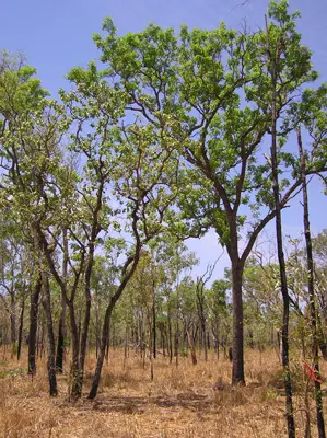
| Vegetation | Woody Savanna |
| Elevation (masl) | 110 |
| Canopy Height (m) | 16.4 |
| Soil description | red kandasol |
| Soil bulk density (g/cm³) | NULL |
| Köppen Climate classification | Savanna / dry winter (Aw) |
| Mean annual temperature (C°) | 27.7 |
| Mean annual precipitation (mm) | 1223.5 |
| Tower operations | |
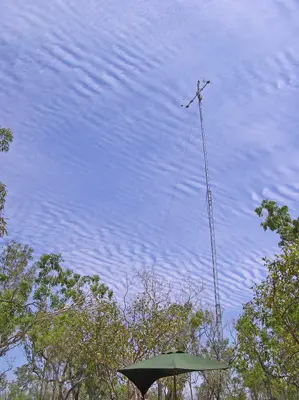
| Tower type | Guyed mast |
| Tower height (m) | 21 |
| Flux species | CO₂ , H₂O |
| Funding organisation | NA |
| Owner organisation | Charles Darwin University |
| Principal investigator | Jason Beringer, Lindsay Hutley |
| Technician(s) | Matthew Northwood |
| Collaborator(s) | UWA |
| Point of contact | Jason Beringer, Lindsay Hutley (lindsay.hutley@cdu.edu.au) |
Images of Daly River Uncleared